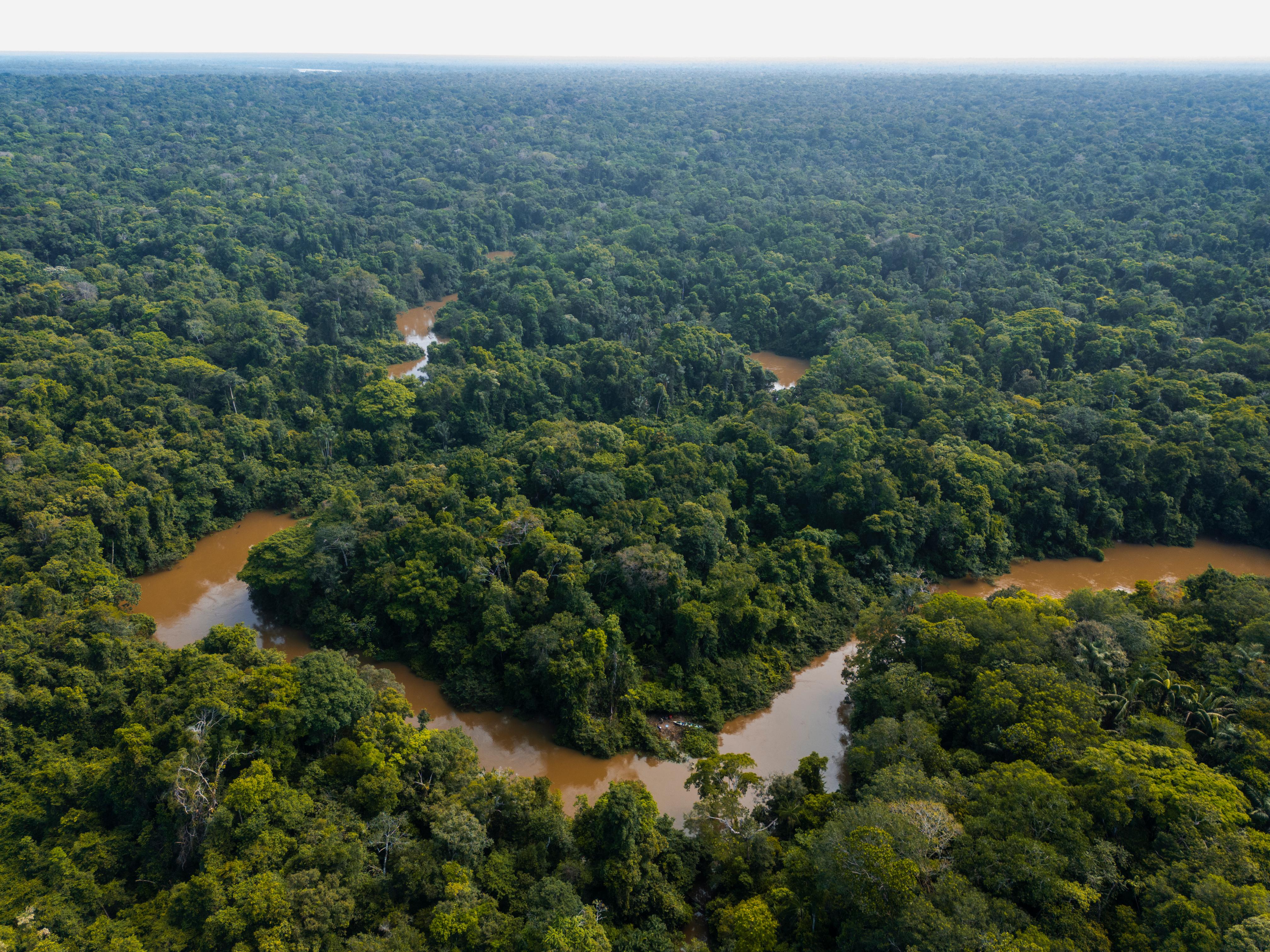
Yaguas National Park was finally created in 2018 after a long process in which Conservation International, together with communities, authorities, and scientific organizations, worked to establish the last protected natural area of untouched nature in Peru. It is considered the area with the greatest diversity of freshwater fish in the country and perhaps the most diverse in all of South America. It is located in the northeast of the department of Loreto, between the Putumayo and Amazon rivers.
In its more than 800,000 hectares of dense forests that store high concentrations of carbon, 337 species of fish, 393 species of birds, 71 species of mammals, 128 species of reptiles and amphibians, and 948 species of plants have been recorded. Six indigenous peoples living in the landscape associated with Yaguas National Park depend on this extraordinary wealth, sustaining their lives through fishing, hunting, and gathering fruits and fibers from the forest.
How can we guarantee its protection?
Like many protected areas around the world, Yaguas National Park does not have sufficient funds to cover its management costs. Illegal mining and logging are constant threats, and to protect this area into the future, Conservation International has been exploring nature credits as an option for providing sustainable financing for Yaguas. To do this, the first step is to establish a biodiversity monitoring program, collect baseline data on flora and fauna, and estimate monitoring costs.
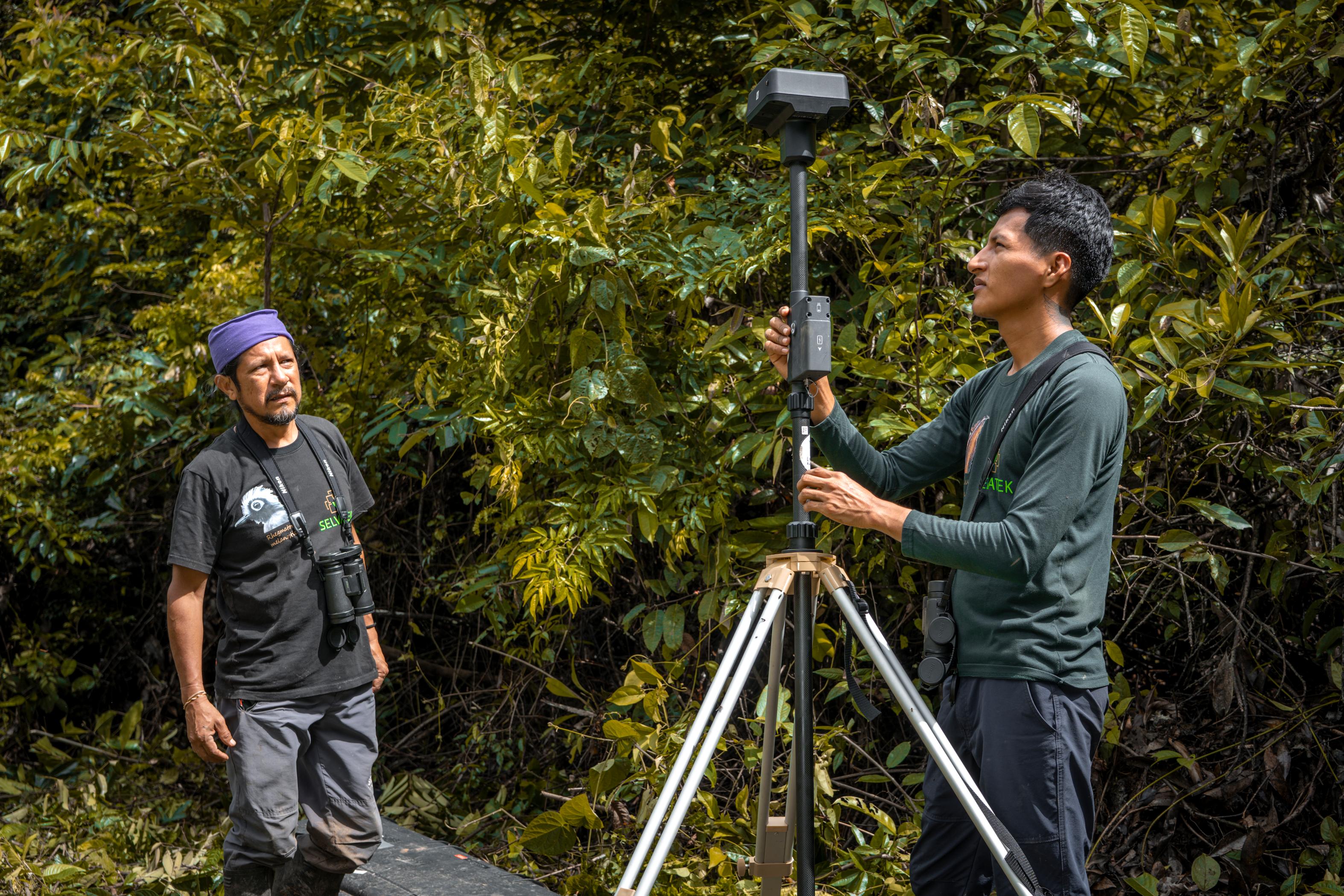
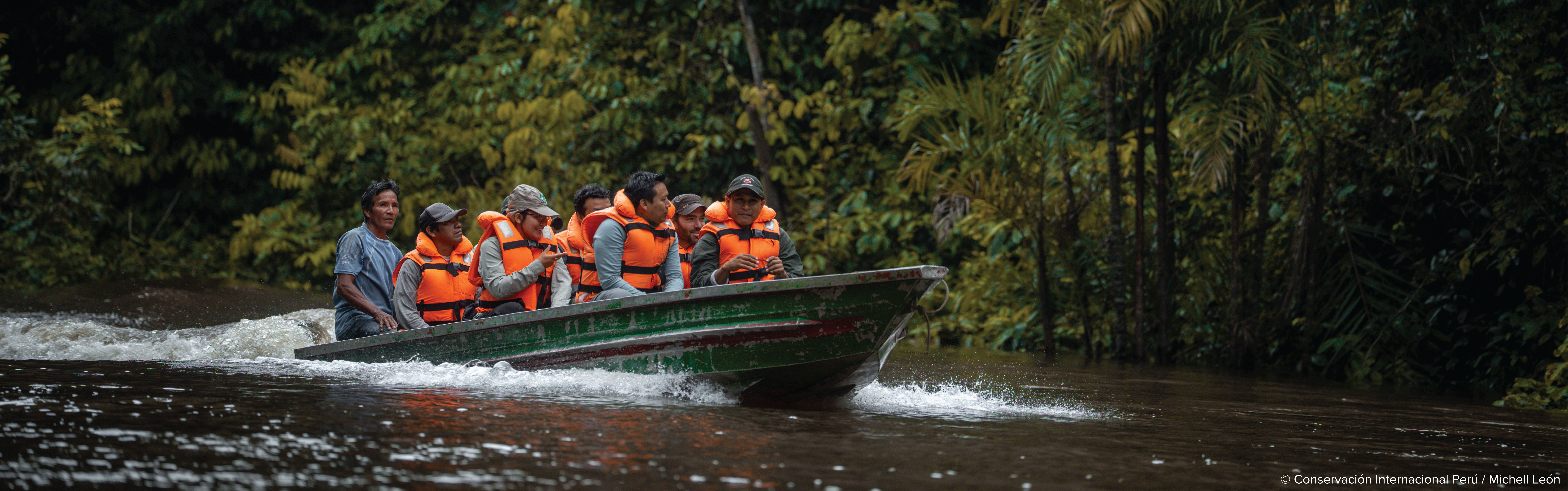
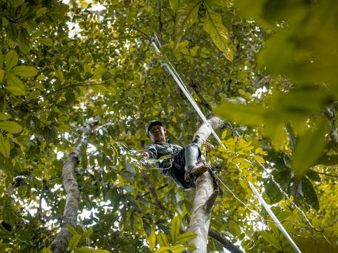
A team of scientists from Conservation International, FZS Peru, and community members entered the landscape associated with Yaguas National Park to implement a sampling design that would help record the most important taxonomic groups in the landscape using a series of complementary technologies. In less than a week, various tools were installed and deployed: 25 camera traps; 10 bioacoustic recorders; 22 light traps for nocturnal insects; 16 water samples were taken for environmental DNA analysis; and 120 hectares of canopy were mapped. All of this was carried out over an area of approximately 25 km².
Field technician collecting leaf and branch samples for accurate taxonomic identification of tree species
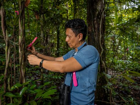
Botanical specialist examining a tree to identify its characteristics, such as the structure and internal coloration of the bark, as well as the presence or absence of latex
“Yaguas is the only Protected Natural Area in Peru with a conservation status of 100%, demonstrating its exceptional ecological integrity. Nature credits can not only guarantee its protection and community governance, but can also serve as a scalable model for the conservation of other critical habitats like Yaguas around the world,”
The expedition took three days to reach base camp from Iquitos, the nearest city. Six members of the Puerto Franco indigenous community participated, learning how to install, deactivate, and remove the equipment. With the support of Yaguas National Park, they will be responsible for sending the monitoring tools to Iquitos for subsequent analysis of the collected information.
Luis Perdomo, a member of the Puerto Franco community, said that they had to walk more than 10 km every day to install the sensors. “Despite the exhaustion and intensity of the work, it is very important for us to learn more about what we have been protecting and looking after.” Luis is also a member of his community's surveillance committee and participates in patrols carried out by Yaguas National Park.
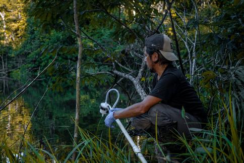
Preparation of the filter for water sampling and environmental DNA analysis
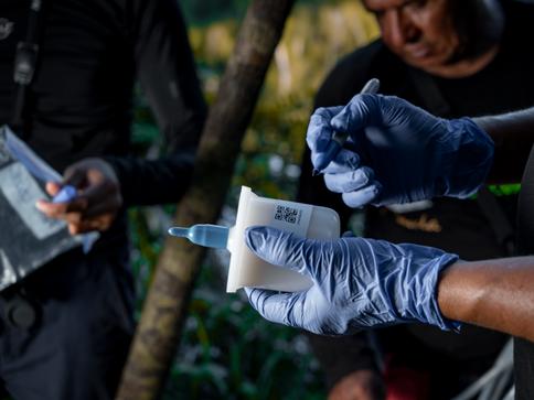
Coding of the water sample for environmental DNA analysis
What are we looking for?
“The goal is to measure biodiversity, assess how well different technologies complement each other, quantify the logistics and costs of implementing this type of sampling, and start thinking about how it could be replicated on a larger scale in the Yaguas landscape,” explains Jeremy Cusack of Okala. Each technology contributes to the results in a specific dimension of biodiversity. Combining all of them allows us to obtain a more complete picture of the state of the ecosystem, and the results will help determine the ideal combination of tools for effective, affordable, and scalable biodiversity monitoring in Yaguas National Park and other areas.
This expedition was led by Conservation International, with strategic support from the Frankfurt Zoological Society Peru, and included the participation of Limelight, Okala, Selvatek, and the invaluable collaboration of Yaguas National Park staff and members of the Puerto Franco indigenous community. All of this was made possible thanks to the support of the Patrick J. McGovern Foundation and Rainforest Trust.
This great collaboration could be the first step in contributing to the conservation of more than 12 million hectares of the great Putumayo landscape between Peru and Colombia.